ISEE Physical Science Group
The Physical Science group brings together expertise from sedimentology, hydrology, water and soil chemistry, hydrodynamics, and geomorphology. This group is focused on characterizing fluxes of sediment, salts and arsenic into surface reservoirs located on polders, which are islands surrounded by embankments installed to reduce flooding during the monsoon. Much of the research is focused on Polder 32, which is adjacent to the Sundarbans protected mangrove forest.
Landscape Dynamics
One of the major findings of this study is that polder construction in the 1960s has caused a 1.0–1.5 m elevation loss caused primarily by interruption of sediment delivery to embanked landscapes (Auerbach et al., 2015, Nature Climate Change v. 5 pp. 153-157). We have documented that when embankments on Polder 32 failed in 2009 during Cyclone Aila, much of the polder was tidally inundated for up to two years until embankments were repaired. Sediment accumulation during this time was equivalent to decades’ worth of normal sedimentation, suggesting that controlled embankment breaches could reduce or eliminate elevation losses and provide for introduction of fertile sediments for agriculture.
Several sources note that the widespread construction of polders in southwest Bangladesh also caused channel siltation and the blockage of drainage sluice gates, leading to waterlogging within polders. Alam (1996, and references within) reported that >600 km of tidal channels silted up within 25 years of polder construction, yet little has been further quantified to date. We analyzed historical Landsat imagery (1973-2015) of southwest Bangladesh to compare changes in channel morphology between poldered regions and the adjacent natural Sundarbans. Our results reveal the tidal channel network in the Sundarbans is relatively stable, whereas construction of the original embankments resulted in the closure/restriction of >1000 km of primary creeks that formerly flooded and drained intertidal platforms. We also observed infilling of channels located outside embankments (>400 km), amounting to >90 km2 of land that has been reclaimed through the closure of these formerly active conduit channels (decrease in mean channel width from 256±91 m to 25±10 m). While much of this new land is intended for distribution to the landless poor (locally termed ‘Khas land’), its economic value as shrimp aquacultural land creates the potential for social injustice issues.
Field validation confirms that anthropogenic modification is largely responsible for changes in land and tidal creek morphology: tidal restriction by embankments and large sluice gates is prevalent, favoring local channel siltation (decrease in mean depth from 8-10 m to 2-3 m; accretion rates ~20 cm/yr). We calculate that with polderization (including impoundment of primary creeks and closure of 30-60% of conduit channels in the study area), an estimated 1,420 x 106 m3 of water has been removed from the tidal prism and 12.3 x 10⁶ MT of sediment annually infills khasland channels. This amounts to ~12% of the total annual sediment load supplied to the tidal deltaplain (Rogers et al., 2013), and reveals enormous potential for sediment redistribution in this delta, ideally for elevation remediation. Further studies will focus on how severing the intertidal platform and large conduit channels from the tidal network impacts the local hydrodynamics, including lateral migration rates and tidal amplification.
Hydrodynamics
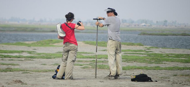
Determining the sediment flux in the area surrounding Polder 32 involves examining not only tidal variations controlled by the spring-neap cycle, but also the potential impacts of the monsoon. Constructing an annual sediment budget will help constrain numerical models of polder sedimentation, and allow us to better understand when and where the maximum suspended sediment concentrations (SSC) can be expected. To accomplish this, we are conducting ship-based transects measuring water velocity and SSC. Dry-season surveys occurred in March 2015 along two transects on the Shibsa, during both spring and neap tides. During the times of these surveys, additional water velocity and SSC measurements were collected near Dacope. Early results from the March 2015 work suggest that maximum discharge during spring tides is 2.5 times greater than during neap, for both the northern and southern transect. Surface SSC reached a maximum of >2 g/l during the spring tides, and 0.3 g/l during the neap tides. These values are consistent with the estimated SSC required to generate the deposits observed by Auerbach et al., (2015). A similar set of measurements will be collected during the monsoon season allowing us to better understand both the tidal and seasonal controls on sediment flux.
Ground and Surface Water Quality
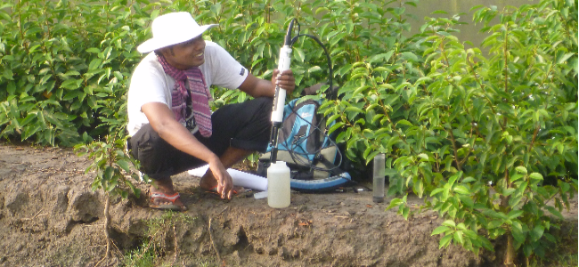
Salinization and arsenic contamination we have found in drinking and agricultural water and in soil suggests that the residents of polder 32 and surrounding areas are faced with serious water and food security issues. Polders in this region are bounded by tidal channels that contain water with low salinity in the wet season (June to October) and high salinity in the dry season (November to May). Rice cultivation is practiced in the wet season, while brine shrimp ponds adjacent to the tidal channels are cultivated in the dry season. Our work has shown that tidal channels contain mixtures of seawater + rainwater + groundwater, and that they are the primary source of salts found in shrimp ponds, rice paddies, freshwater ponds, and soil on the polders. Salt contents of soil and water in many rice paddies are high enough to reduce rice yields, but we observed no negative impacts from brine shrimp aquaculture.
We have also studied groundwater in the shallow Holocene sand aquifer beneath polder 32. General characteristics of the aquifer include a low topographic gradient that results in low flow velocities, a mud cap that acts as a confining layer and limits recharge, and discontinuous impermeable mud layers that inhibit vertical mixing. Electromagnetic subsurface mapping reveal areas of low conductivity, which may be attributed to breaks in the confining unit or fresher water. Over one hundred groundwater samples collected from drinking water wells have been chemically analyzed. These samples have high but variable contents of arsenic and dissolved organic carbon (DOC), and moderate but variable salinity, equivalent to mixtures of 20-80% connate seawater + rainwater. Carbon and hydrogen isotope dating indicate that localized recharge leads to the development of freshwater lenses above paleo-brackish water. A 2D solute transport model indicates an advection dominated system, and is consistent with a slow freshening of connate tidal channel water by rainwater infiltration.
Several new projects are expanding the scope of our investigations. One project is aimed at characterizing groundwater-surface water interactions of fresh and saline sources in the Sundarbans and the poldered areas in Southwest Bangladesh. Research questions include: 1) What is the source of the high DOC, which is believed to cause mobilization of arsenic in the aquifer? and 2) What is the spatiotemporal extent of exchange between the tidal channel and aquifer systems? Preliminary results suggest tidal channel-aquifer exchange is limited in both environments. Future work will include modeling of groundwater flow and geochemistry.
Another project is designed to characterize the near-surface carbon cycle in this region as an important part of the global surface carbon cycle and its' climate impacts. This will require accurate measurement of fluxes of carbon into sinks and out of sources. While estimates of surface carbon burial rates suggest the GBM delta may be the world's largest carbon sink, our preliminary measurements suggest that much organic carbon is remineralized shortly after burial to form DOC. This may explain the anomalously high measured DOC contents of groundwater samples and methane emissions observed in wells and tidal channels.


