March 15, 2017: Steve Wernke, “Spatial Ethnohistory: Irreducible Landscapes in the Colonial Andes”
Vanderbilt Center for Digital Humanities
Wednesday, March 15, 4:10 pm
Spatial Ethnohistory: Irreducible Landscapes in the Colonial Andes
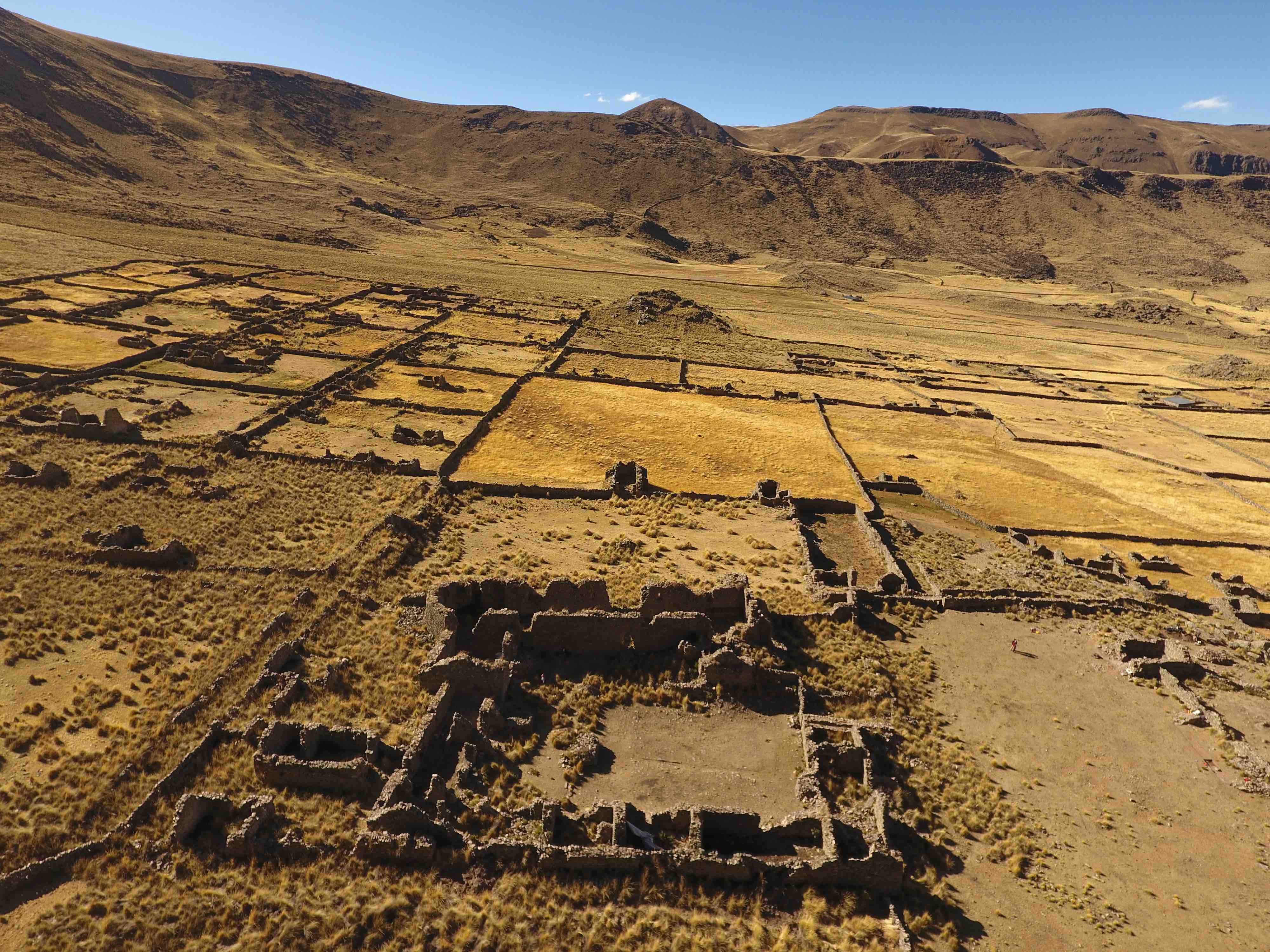
If, as Patricia Seed once observed, “Spanish colonialism produced the census, British colonialism the map,” there might seem to be little hope for resuscitating the spatial dimensions of Spanish colonialism in the Americas. But if the Spanish left us paltry cartographic registries, we needn’t despair in our inability to recover spatial experience and practice from other classes of textual documentation. But through combined use of GIS, close reading, and ethnographic research, implicit spatial locations, structures, and practices embedded in texts can be made explicit. A spatial ethnohistory is well within reach. In this talk, I present methods for how this can be done through a study that explores the differential impact of forced colonial resettlement on agriculturalist and pastoralist practices in the colonial Andes.
Steve Wernke is Associate Professor of Anthropology and Director of the Spatial Analysis Research Laboratory, Vanderbilt University. He is author of Negotiated Settlements: Andean Communities and Landscapes under Inka and Spanish Colonialism (University Press of Florida, 2013). His research has been published in American Anthropologist, Human Ecology, International Journal of Historical Archaeology, Journal of Archaeological Science, Journal of Field Archaeology, Latin American Antiquity, among other journals.